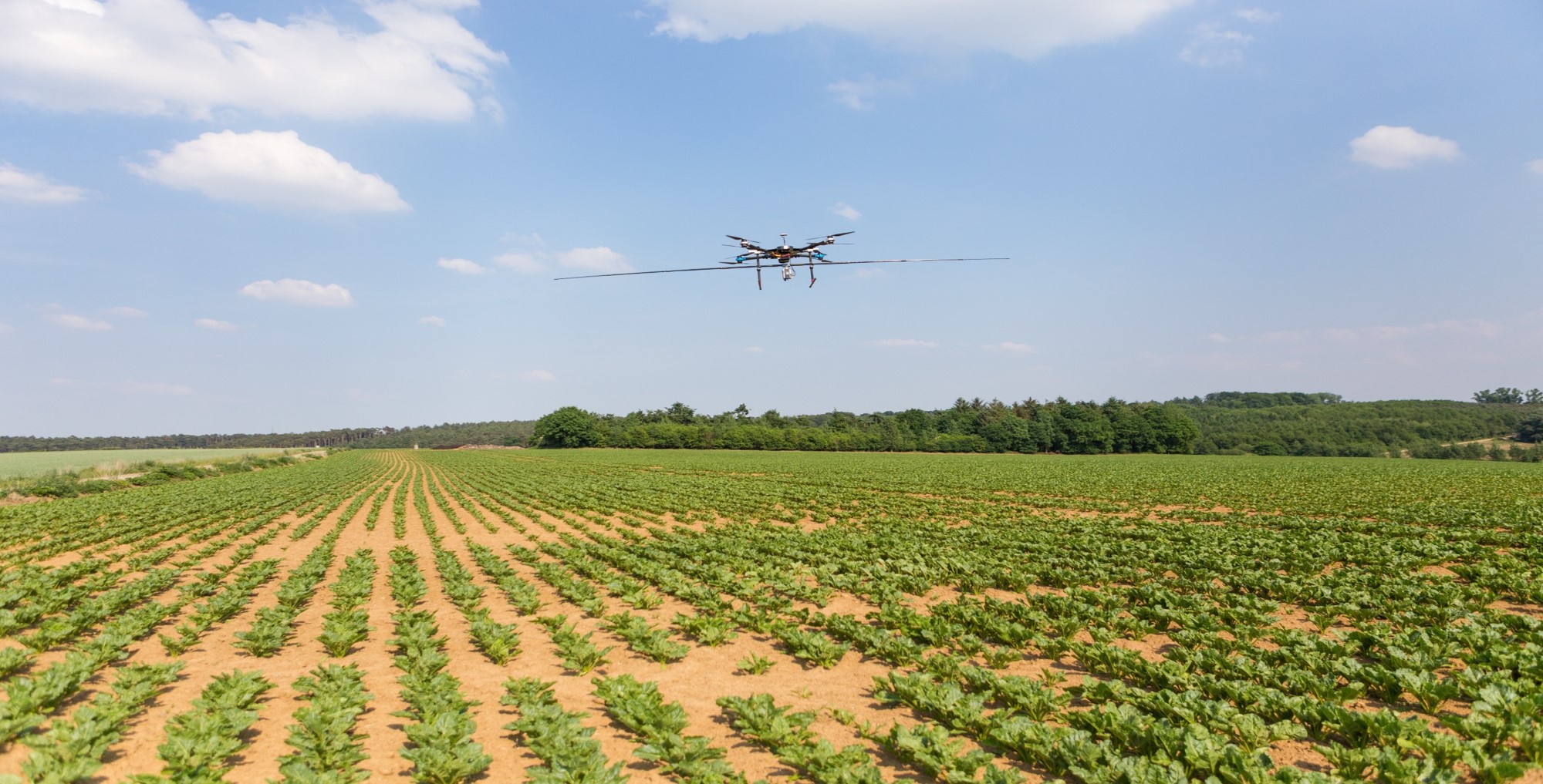
This course aims to teach technologies for characterization and monitoring of agroecosystems. In particular, geophysical imaging and characterization techniques of soil properties are presented, such as ground penetrating radar, electromagnetic induction or electrical tomography. Also, the course discusses the use of drones for environmental monitoring, including multispectral, thermal infrared, LiDAR sensors as well as photogrammetry. Fundamental concepts, instruments and methods of signal analysis will be particularly seen in-depth. The student will be made familiar with these tools through practical works and an integrated project.
- Teacher: Henrion Maud
- Teacher: Jonard François
- Teacher: Lambot Sébastien
- Teacher: Mareschal Merlin
- Teacher: Rongione Charles
- Teacher: Thami Adil
- Teacher: Thomas Maxime